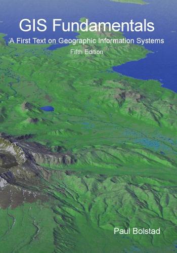
[GIS Book/PDF] GIS Fundamentals: A First Text on Geographic Information Systems
Description
Geographic Information Systems (GIS) are computer-based tools for the entry, maintenance, and analysis of spatial data. GIS are critical for effective resource management, and have been applied across a wide range of science, business, and government endeavours.
This book provides an introduction to the theory and application of GIS. It is written for use in an introductory GIS class and as a reference for the GIS practitioner. This fifth edition balances theoretical and applied material, so that students may apply knowledge of GIS in the solution of real-world problems. Improvements over the previous editions are included in each chapter. Topics treated include an introduction to GIS, spatial data models, map projections, data entry, image data, GPS, digital data, database systems in GIS, general spatial analysis, raster analysis, terrain modeling, metadate, standards, and accuracy assessments.
Book Info

Author(s): Paul Bolstad
Publisher: XanEdu, Year: 2016
Download
Join the group as followed to get more info.
Join Group
Due to copyright or some other issues, the resources you currently see may not be available, for more information, such as purchase, lease, second-hand transfer or other method, you can join our Telegram group, many other GIS tips would be shared here.
Telegram: Join GIS Hub Group
comments powered by Disqus