From Paper Maps to Accessible GIS Data
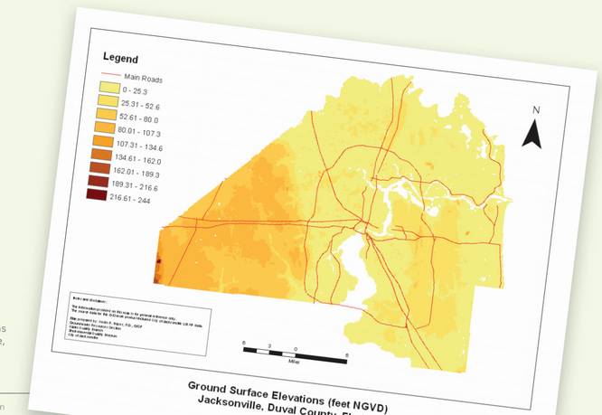
Currently maintained in an ArcGIS 10 ArcMap document (MXD), the Groundwater Contamination Risk Management GIS includes contamination site information and private well sampling analytical data collected by state and local government agencies. Access to this information via GIS allows EQD to quickly evaluate potential contamination sources in the vicinity of a proposed well and provide notifi cation to property owners and water well contractors when warranted by site conditions.
Download Paper
https://www.esri.com/about/newsroom/wp-content/uploads/2018/11/aquifer.pdf
Join Group
Due to copyright or some other issues, the resources you currently see may not be available, for more information, such as purchase, lease, second-hand transfer or other method, you can join our Telegram group, many other GIS tips would be shared here.
Telegram: Join GIS Hub Group
comments powered by Disqus