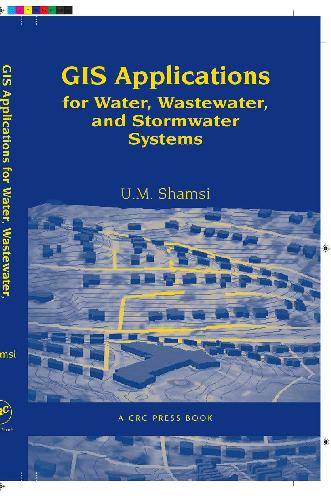
[GIS Book/PDF] GIS applications for water, wastewater, and stormwater systems
Description
Professionals involved in the planning, design, operation, and construction of water, wastewater, and stormwater systems need to understand the productivity-enhancing applications of GIS. Inspired by an ASCE-sponsored continuing education course taught by the author, GIS Applications for Water, Wastewater, and Stormwater Systems focuses on the practical aspects of software and data tools that enable GIS applications. The book documents and analyzes effective use of GIS, demonstrating how you can apply the technology to make tasks easier to perform, saving time and money for your organization. The book first describes GIS, detailing its importance and explaining how to avoid potential pitfalls via a needs analysis study. It then describes GIS-related technologies that are crucial in applications development: remote sensing; DEM data; GPS; Internet applications; and mobile GIS. The final ten chapters focus on the "Four Ms" of the water industry-Mapping, Monitoring, Modeling, and Maintenance-applications that define the most important activities for efficient management of water, wastewater, and stormwater systems. Promoting a performance- (or outcome-) based style of learning, each chapter first states learning objectives and later concludes with a chapter summary and questions. The text encourages more effective and natural inductive study by first presenting case studies, then explaining procedures. This volume supplements the text with numerous maps, tables, and illustrations. ·
Book Info

Author(s): U.M. Shamsi
Publisher: Taylor & Francis, Year: 2005
ISBN: 0849320976,9780849320972
Join Group
Due to copyright or some other issues, the resources you currently see may not be available, for more information, such as purchase, lease, second-hand transfer or other method, you can join our Telegram group, many other GIS tips would be shared here.
Telegram: Join GIS Hub Group
comments powered by Disqus