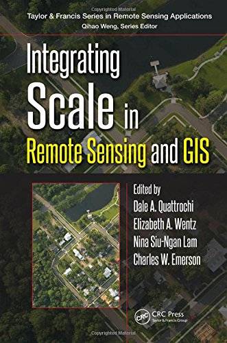
[GIS Book/PDF] Integrating scale in remote sensing and GIS
Description
This book is the most comprehensive documentation of the scientific and methodological advances that have taken place in integrating scale in remote sensing and GIS. It presents new developments in the overall concept of scale within the purview of the "science of scale" for multispatial, multitemporal, and multispectral data, including spatial modeling. It discusses future trends in the integration of remote sensing and GIS in relation to new Earth observation remote sensing platforms and instruments to be launched in the near future.
Book Info

Author(s): Dale A. Quattrochi, Elizabeth Wentz, Nina Siu-Ngan Lam, Charles W. Emerson
Series: Remote Sensing Applications Series
Publisher: Routledge;CRC Press, Year: 2017
Join Group
Due to copyright or some other issues, the resources you currently see may not be available, for more information, such as purchase, lease, second-hand transfer or other method, you can join our Telegram group, many other GIS tips would be shared here.
Telegram: Join GIS Hub Group
comments powered by Disqus