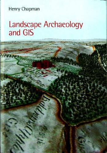
[GIS Book/PDF] Landscape Archaeology and GIS
Description
Landscape Archaeology and GIS examines the ways in which Geographical Information Systems can be used to explore archaeological landscapes, and summarizes the most appropriate methods to use. It is structured around principal themes in landscape archaeology, and integrates desk-based assessment, data collection, data modeling, and landscape analysis, right through to archiving and publication. This is the first book on GIS to focus specifically on landscape archaeology that is accessible to a wide archaeological readership. It explores the applications of GIS to a wide variety of archaeological evidence including maps, aerial photographs, and earthworks. The work is well-illustrated throughout with digital maps and models being used to support case studies, as well as for suggesting new hypotheses relevant to this discipline.
Book Info

Author(s): Henry Chapman
Publisher: Tempus Pub Limited, Year: 2011
Search in WorldCat | Search in Goodreads | Search in AbeBooks | Search in Amazon.com
Join Group
Due to copyright or some other issues, the resources you currently see may not be available, for more information, such as purchase, lease, second-hand transfer or other method, you can join our Telegram group, many other GIS tips would be shared here.
Telegram: Join GIS Hub Group
comments powered by Disqus