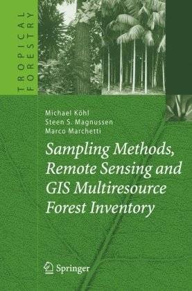
[GIS Book/PDF] Sampling methods, remote sensing and GIS multiresource forest inventory
Description
The book presents the state of the art of forest resources assessments and monitoring and provides links to practical applications of forest and natural resource assessment programs. Besides the assessment of the productive functions of forests, special emphasis is put on the quantification of nonwood goods and services and the relationship of forests and other landscape elements. All methodology is presented in the framework of sustainable forest management of the multiple functions forests are capable of providing to the natural environment and society. The book was developed as a reference text for (forest) biometricians, practitioners involved in forest and natural resources assessment and monitoring programs, and graduate students with a strong interest in becoming forest inventory specialists. To accomplish these goals, the book provides a short summary of the history of forest resources assessments, introduces some general aspects of the planning and organization of forest inventories, gives an overview of the assessment of attributes of single trees and forest stands, including global positioning systems and location-based services, and presents the critical definitions and theory needed for designing sample-based surveys and performing statistical inference. One chapter is devoted to the theory and application of remote-sensing techniques, another chapter to geographic information systems. The last chapter concerns topics such as dissemination of inventory results, forest information systems, and the application of IT techniques. Future needs for research and methodological developments are outlined.
Book Info

Author(s): Michael Köhl
Series: Tropical forestry
Publisher: Springer, Year: 2006
Join Group
Due to copyright or some other issues, the resources you currently see may not be available, for more information, such as purchase, lease, second-hand transfer or other method, you can join our Telegram group, many other GIS tips would be shared here.
Telegram: Join GIS Hub Group
comments powered by Disqus