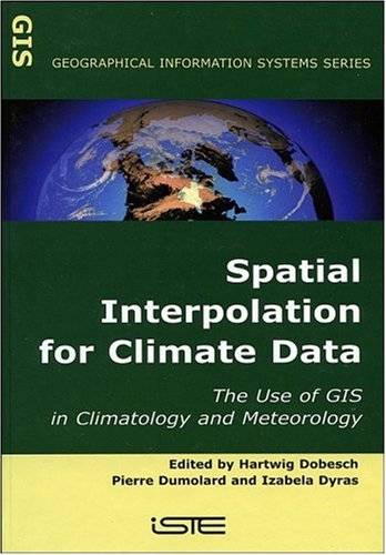
[GIS Book/PDF] Spatial Interpolation for Climate Data: The Use of GIS in Climatology and Meteorology (Geographical Information Systems series)
Description
This title gives an authoritative look at the use of Geographical Information Systems (GIS) in climatology and meterology. GIS provides a range of strategies, from traditional methods, such as those for hydromet database analysis and management, to new developing methods. As such, this book will provide a useful reference tool in this important aspect of climatology and meterology study.
Book Info

Author(s): Hartwig Dobesch, Pierre Dumolard, Izabela Dyras
Year: 2007
ISBN: 1905209703,9781905209705
Download
Join the group as followed to get more info.
Join Group
Due to copyright or some other issues, the resources you currently see may not be available, for more information, such as purchase, lease, second-hand transfer or other method, you can join our Telegram group, many other GIS tips would be shared here.
Telegram: Join GIS Hub Group
comments powered by Disqus