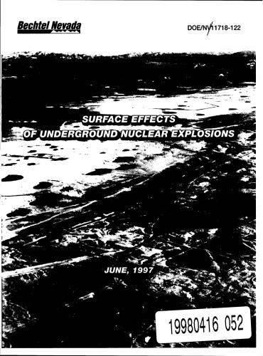
[GIS Book/PDF] GIS surface effects archive of underground nuclear detonations conducted at Yucca Flat and Pahute Mesa, Nevada Test Site, Nevada
Description
This report presents a new comprehensive, digital archive of more than 40 years of geologic surface effects maps produced at individual detonation sites throughout the Yucca Flat and Pahute Mesa nuclear testing areas of the Nevada Test Site, Nye County, Nevada. The Geographic Information System (GIS) surface effects map archive on CD-ROM (this report) comprehensively documents the surface effects of underground nuclear detonations conducted at two of the most extensively used testing areas of the Nevada Test Site. Between 1951 and 1992, numerous investigators of the U.S. Geological Survey, the Los Alamos National Laboratory, the Lawrence Livermore National Laboratory, and the Defense Threat Reduction Agency meticulously mapped the surface effects caused by underground nuclear testing. Their work documented the effects of more than seventy percent of the underground nuclear detonations conducted at Yucca Flat and all of the underground nuclear detonations conducted at Pahute Mesa.
Book Info

Author(s): Dennis N Grasso; United States. Dept. of Energy. Nevada Operations Office.; Geological Survey (U.S.)
Series: U.S. Geological Survey open-file report, 01-272
Publisher: U.S. Dept. of the interior U.S. Geological Survey, Year: 1997
Download
Join the group as followed to get more info.
Join Group
Due to copyright or some other issues, the resources you currently see may not be available, for more information, such as purchase, lease, second-hand transfer or other method, you can join our Telegram group, many other GIS tips would be shared here.
Telegram: Join GIS Hub Group
comments powered by Disqus