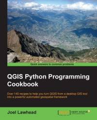
[GIS Book/PDF] QGIS Python Programming Cookbook: Over 140 recipes to help you turn QGIS from a desktop GIS tool into a powerful automated geospatial framework
Description
QGIS Python Programming will teach you how to write Python code that works with spatial data to automate geoprocessing tasks in QGIS. It will cover topics such as querying and editing vector data and using raster data. You will also learn to create, edit, and optimize a vector layer for faster queries, reproject a vector layer, reduce the number of vertices in a vector layer without losing critical data, and convert a raster to a vector. Following this, you will come across recipes that will help you to compose static maps, create heavily customized maps, and add specialized labels and annotations. Apart from this, the book will also share a few tips and tricks based on different aspects of QGIS.
Book Info

Author(s): Joel Lawhead
Publisher: Packt Publishing, Year: 2015
ISBN: 978-1-78398-498-5
Join Group
Due to copyright or some other issues, the resources you currently see may not be available, for more information, such as purchase, lease, second-hand transfer or other method, you can join our Telegram group, many other GIS tips would be shared here.
Telegram: Join GIS Hub Group
comments powered by Disqus