[GIS Video] Use ArcGIS to Create Shape Files, Labels and Spatial Reference
This is a basic ArcGIS tutorial video, it introduces the use of ArcGIS to create shape files, labels and spatial reference.
ArcGIS Software Version
ArcMap 10.4.1
Abstract
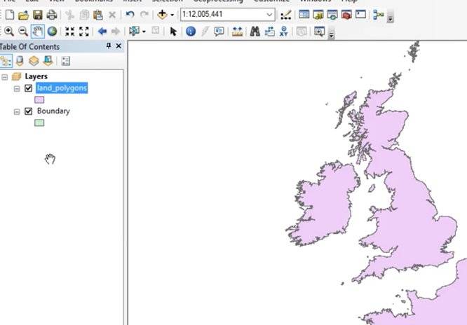
It will demonstrate how to set spatial references, create new shapefiles layers, use intelligent labels by creating queries. This ArcGis tutorial is for new users who just started learning ArcMap. The tutorial discusses how to edit the database tables and how to calculate some geometric parameters.
Watch the Video
Join Group
Due to copyright or some other issues, the resources you currently see may not be available, for more information, such as purchase, lease, second-hand transfer or other method, you can join our Telegram group, many other GIS tips would be shared here.
Telegram: Join GIS Hub Group
comments powered by Disqus