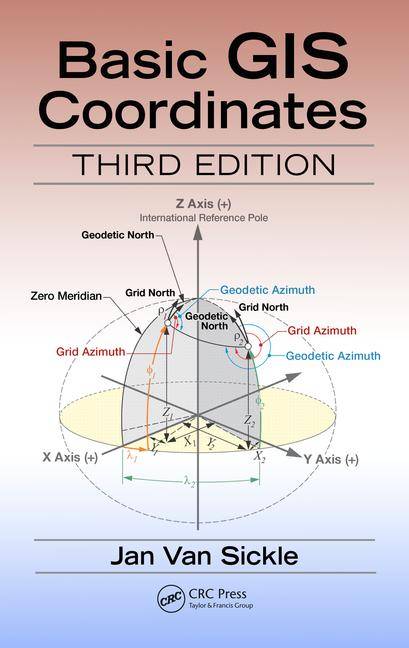
[GIS Book/PDF] Basic GIS coordinates
Description
• Explains the progression of the ideas that are the foundation of geospatial coordinate systems. • Provides the information necessary to infer the veracity of typical applied geospatial coordinate systems. • Incorporates the upcoming change in the basis for horizontal and vertical coordinate systems in North America. • Covers the fundamentals of State Plane Coordinates and Universal Transverse Mercator Coordinates, heights, and the Public Land Surveying System. • Provides helpful exercises at the end of each chapter with answers and concise explanations to fortify comprehension.
Coordinates are integral building tools for GIS, cartography, surveying and are vital to the many applications we use today such as smart phones, car navigation systems and driverless cars. Basic GIS Coordinates, Third Edition grants readers with a solid understanding of coordinates and coordinate systems and how they operate as well as valuable insight into what causes them to malfunction. This practical and comprehensive guide lays out the foundation of a coordinate system and the implications behind building it as it elaborates on heights, two coordinate systems, and the rectangular system.The previous editions described horizontal and vertical datums such as the North American Datum 1983 (NAD 83) and the North American Vertical Datum 1988 (NAVD 88). Both will be replaced in 2022 or thereabouts. The National Geodetic Survey (NGS) plans to replace NAD83 with a new semi-dynamic terrestrial reference frame for North America and a new vertical datum will replace NAVD88. The foundation of the new vertical datum will be a temporally tracked gravimetric geoid. The interim period is intended to smooth the transition to the new paradigm and this new edition explores the changes and provides assistance in understanding them.
Book Info

Author(s): Jan Van Sickle
Publisher: CRC Press, Year: 2017
ISBN: 1498774628,9781498774628,1498774636,9781498774635
Join Group
Due to copyright or some other issues, the resources you currently see may not be available, for more information, such as purchase, lease, second-hand transfer or other method, you can join our Telegram group, many other GIS tips would be shared here.
Telegram: Join GIS Hub Group
comments powered by Disqus