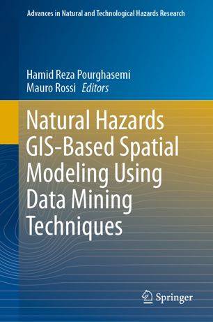
[GIS Book/PDF] Natural Hazards GIS-Based Spatial Modeling Using Data Mining Techniques
Description
This edited volume assesses capabilities of data mining algorithms for spatial modeling of natural hazards in different countries based on a collection of essays written by experts in the field. The book is organized on different hazards including landslides, flood, forest fire, land subsidence, earthquake, and gully erosion. Chapters were peer-reviewed by recognized scholars in the field of natural hazards research. Each chapter provides an overview on the topic, methods applied, and discusses examples used. The concepts and methods are explained at a level that allows undergraduates to understand and other readers learn through examples. This edited volume is shaped and structured to provide the reader with a comprehensive overview of all covered topics. It serves as a reference for researchers from different fields including land surveying, remote sensing, cartography, GIS, geophysics, geology, natural resources, and geography. It also serves as a guide for researchers, students, organizations, and decision makers active in land use planning and hazard management.
Book Info

Author(s): Hamid Reza Pourghasemi, Mauro Rossi
Series: Advances in Natural and Technological Hazards Research 48
Publisher: Springer International Publishing, Year: 2019
Join Group
Due to copyright or some other issues, the resources you currently see may not be available, for more information, such as purchase, lease, second-hand transfer or other method, you can join our Telegram group, many other GIS tips would be shared here.
Telegram: Join GIS Hub Group
comments powered by Disqus